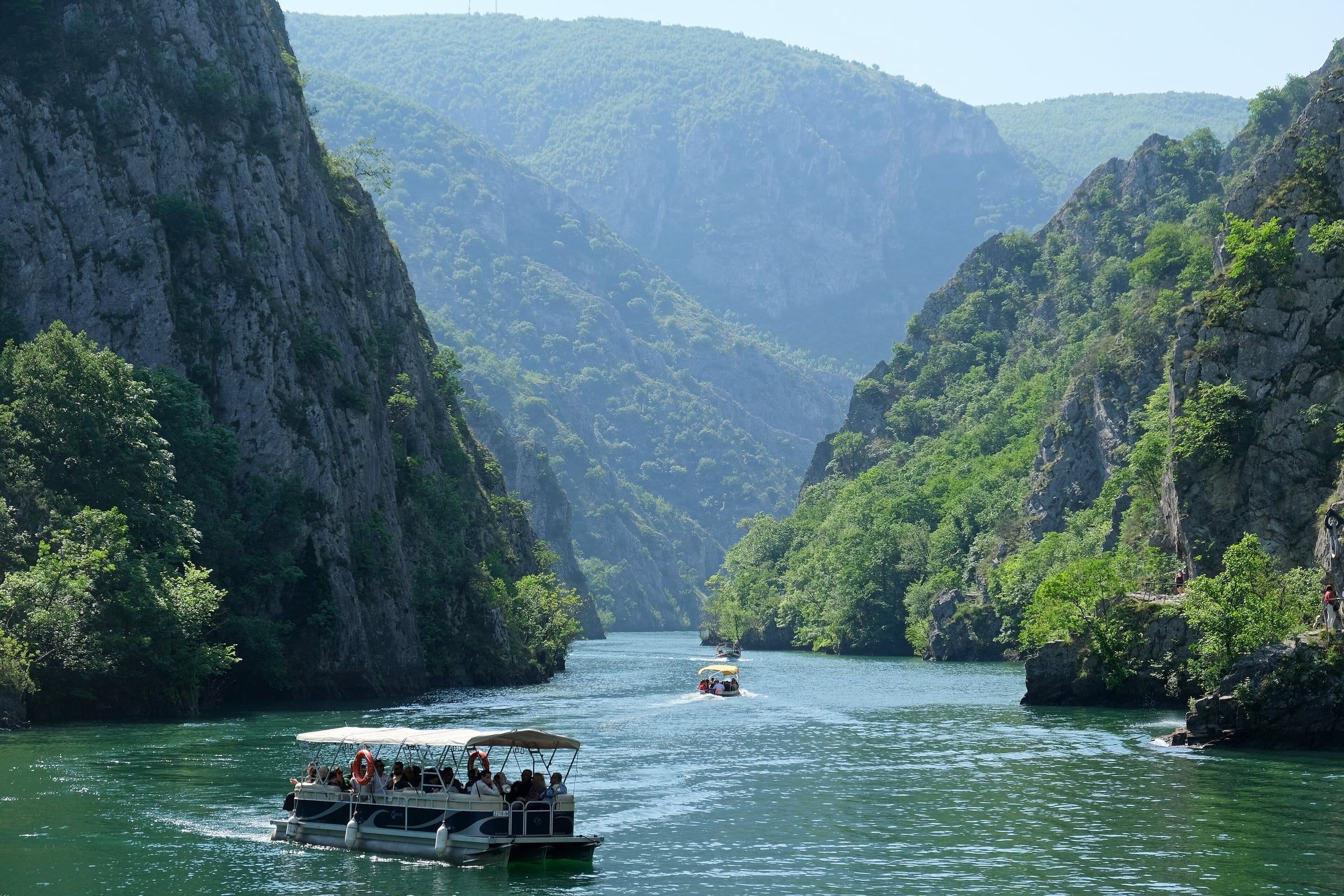
The short version
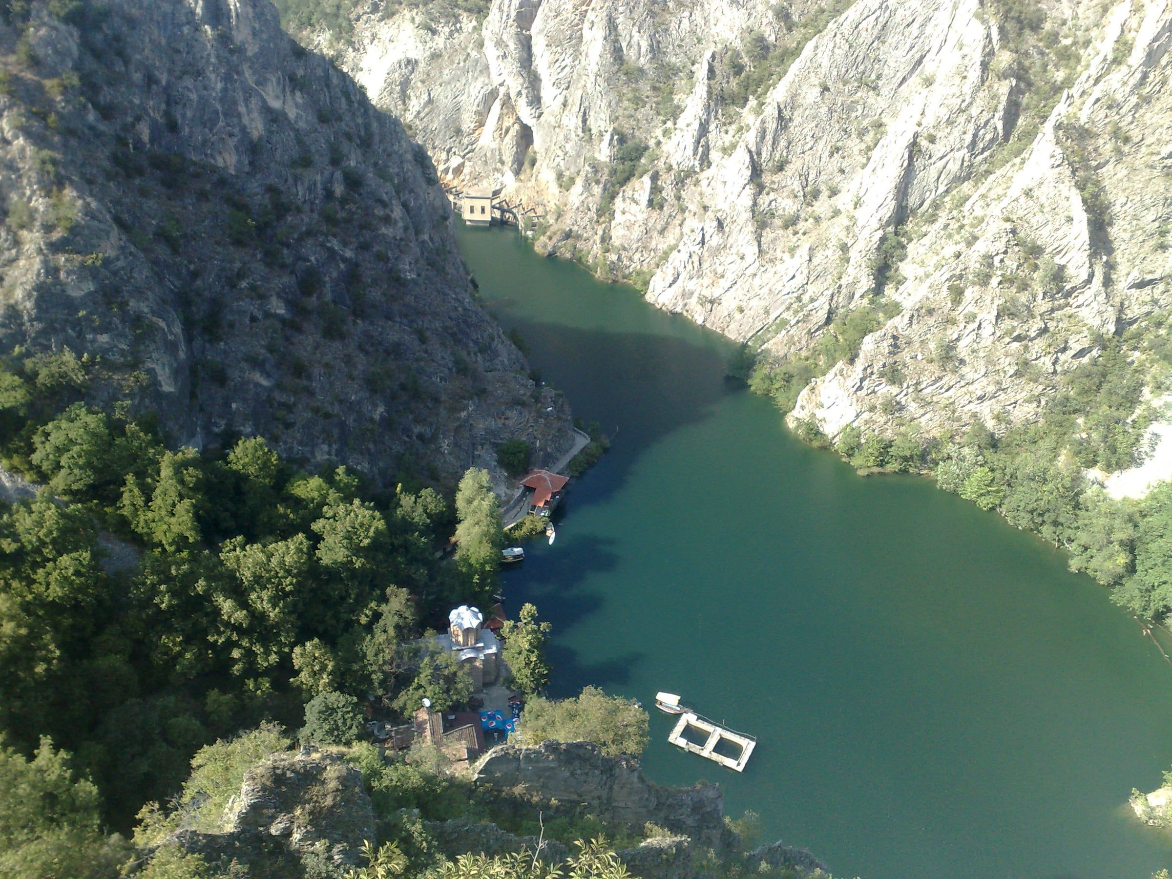
Most visitors walk the short path from the dam to St Andrew’s Monastery and stop there. Beyond it, a cliff path runs up the lake. Across the water, a steep trail climbs to St Nicholas monastery. Longer routes continue to Mount Vodno and the Millennium Cross.
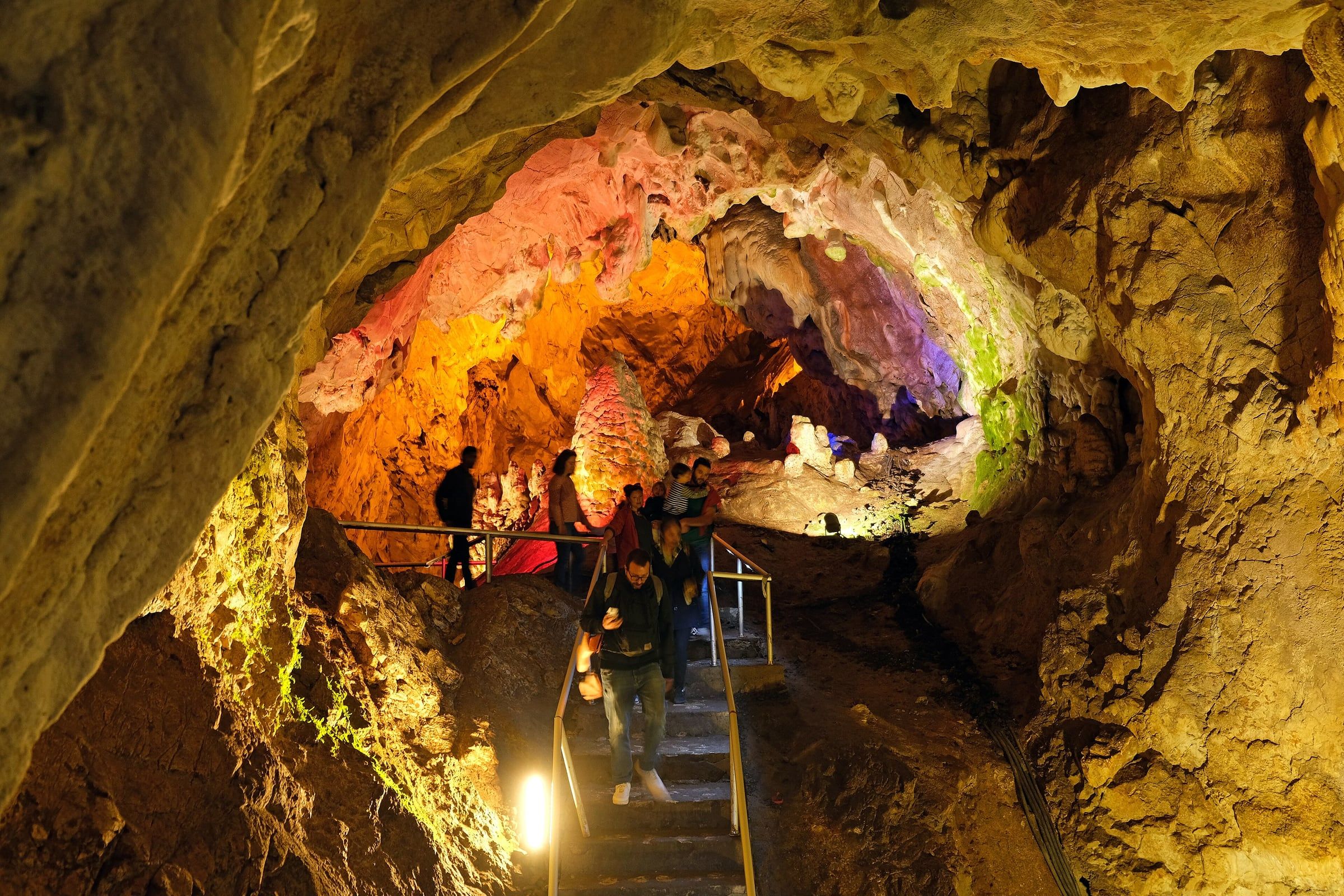
You cannot walk to Vrelo Cave. Minimalist Journeys says it is on the far side of the lake, so it is a boat or kayak trip: see the Vrelo Cave page and the boat and kayak guide.
From the car park to St Andrew’s
The first stretch is flat and short, but the times vary by who is counting. Voices of Travel and Traveltomtom both describe about 10 minutes from the car park to the canyon entrance. Passport Symphony puts St Andrew’s about 15 minutes from that entrance and about 30 minutes from the bus stop. Hole in the Donut counted about half an hour from the dam.
That older report (2015, updated 2020) describes a dirt road past the hydropower plant, which turns into a narrow stone-paved path above the lake. The dam’s hydroelectric plant began operating in 1938, according to its operator EVN.
On busy days the road can add distance. Voices of Travel says buses may stop about 5 km short, especially after 11:00 or at weekends. In Your Pocket says the road is closed some way from the canyon at weekends and holidays. Check before you set off, and see getting there from Skopje.
The monastery has its own page: St Andrew’s Monastery.
The cliff path beyond St Andrew’s
North Macedonia Guidebook calls the lakeside path past the dam and St Andrew’s the easiest route, partly a built boardwalk and partly a rocky trail. Beyond that, guides disagree on how far the path goes:
- Minimalist Journeys: about 5 km one way.
- Adventurous Miriam: about 6 to 10 km into the canyon, overgrown after roughly 3 km.
- Traveltomtom: about 10 km to the end of the canyon, 5 to 6 hours for the round trip, though the writer did not walk it.
MacedoniaTOP suggests walking 20 to 30 minutes and turning back, which is a sensible way to sample it.
Komoot lists community-recorded loops near the canyon:
| Route | Distance | Time | Climb | Komoot grade |
|---|---|---|---|---|
| Matka Canyon loop from Canyon Matka | 10.7 km | 2:57 | 190 m | Moderate |
| View of the Mountain Slopes loop from Canyon Matka | 7.59 km | 2:22 | 260 m | Moderate |
| View of the Treska River loop from Matka Farm RV Camping Area | 8.59 km | 3:18 | 480 m | Hard |
These are recorded tracks, not official trails, and Komoot’s own page shows a different climb (330 m) for the third route. Use them as a guide to effort.
The climb to St Nicholas (Sveti Nikola)
St Nicholas Šiševski monastery stands on the right bank, about 160 m above the lake at around 480 m above sea level. Wikipedia says it can only be reached on foot. Reported times differ by starting point:
- From the Treska bridge near the kayak area: about half an hour (Wikipedia).
- From the boat crossing: a climb of about 180 m in 20 to 30 minutes (Travel2Macedonia).
- From the start of the lake on foot: 1 to 1.5 hours (Travel2Macedonia).
- From Šiševo village: about 1 hour (Wikipedia).
Sailingstone Travel paid 30 MKD (Macedonian denar) for the short ferry, in a post first published in 2022, and describes the path as steep and rocky but well shaded. Traveltomtom reached the top exhausted after about 30 minutes, found the monastery closed and reported that there was nothing at the top. To come back down, Travel2Macedonia says you can call across for a boat or use a gong hung in a tree.
Longer routes: Vodno and the Millennium Cross
The long route links Matka with Mount Vodno, the hill above Skopje that carries the Millennium Cross. Reported figures differ:
- Macedonia Travel’s guided route: 12 km, 5 to 6 hours, about 733 m up and 983 m down.
- Traveltomtom: 14.3 km point to point, about 950 m of ascent.
- Wikivoyage: about 18 km for the full day from Vodno to Matka.
Wikipedia gives 2 hours 30 minutes between the Vodno summit and the monastery, and Sailingstone Travel gives 3 to 4 hours in total from Matka, before the descent. Wikivoyage warns there may be no bus back to Skopje at the end of a long day.
Footwear, water and weather
Wear shoes with grip. North Macedonia Guidebook says flip-flops are no good. Passport Symphony says trails turn slippery in autumn and winter, and Hole in the Donut reports slipping in wet mud.
Carry water. Sailingstone Travel suggests about two litres on a hot day. It found a public tap at St Nicholas, but Traveltomtom says there is nothing there, so bring your own. Sailingstone Travel found no water between St Nicholas and the Vodno cross. Passport Symphony says few places sell food or drink away from the main area.
Wikipedia gives the climbing season as roughly Easter to November. See when to visit for the weather picture.
Safety and drop-offs
Parts of the cliff path are exposed. Hole in the Donut describes narrow sections where passing is hard, an iron railing that gives little protection, and washed-out patches with holes dropping towards the lake. Minimalist Journeys notes eroded sections and missing barriers in places. Adventurous Miriam does not recommend the further path for children, older people or anyone with mobility problems, and says some risky spots have no railings.
Practical rules that follow:
- Keep to the inside on narrow sections and give way at wide points.
- Do not rely on phone signal as your only navigation (MacedoniaTOP).
- Passport Symphony says cliff climbing is only for experienced climbers, with equipment and help at the Matka Mountaineering Center near St Andrew’s.
- MacedoniaTOP advises against treating the reservoir as an ordinary swimming beach.
- Watch where you put your hands and feet. Wikipedia lists the horned viper among the canyon’s wildlife, and Sailingstone Travel’s author saw a large snake near the lake path.
Signs and navigation
Guides disagree here. Passport Symphony says routes are marked with red and white paint on trees and rocks. Sailingstone Travel found markers misleading and sometimes ending abruptly, and followed a downloaded map instead. Download an offline map before you go, especially for Vodno.
If you would rather skip the planning, day tours from Skopje handle the transport and timing.